Ranong
Ranong province is one of Thailand’s southern provinces. To the west lies the Andaman Sea. It is the least populated province in Thailand.
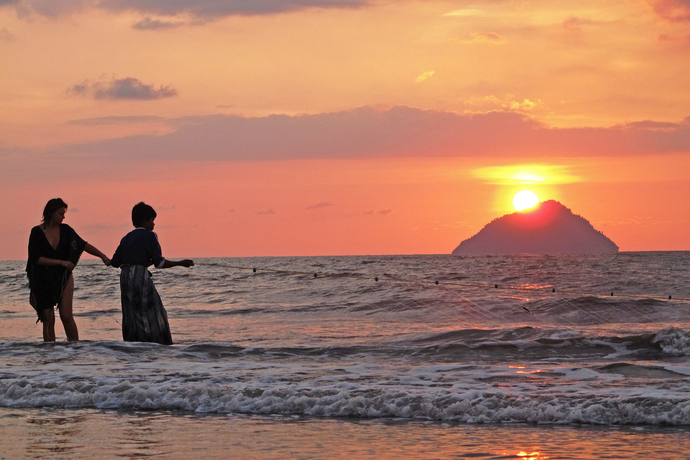
Andaman Discoveries work with Ban Talae Nok community tourism group as a gateway to the islands in this area. It is apt naming for the village. Ban mean village, Talae means sea and Nok is used to describe something at a distance; translating to ”Faraway Village of the Sea” which is a perfect description for this quaint community perched on the Andaman Sea.
6 Days 5 Nights
Day Tour
2 Days 1 Night
3 Days 2 Night
Islands
The sea and islands dotted off the coastline from Ban Talae Nok are an important part of village identity. Each island has been named and is treasured for its unique features. These are:
- Bat Island (Koh Kang Kao) — with a big cave home to many bats.
- Japanese Island (Koh Yee Puun) — once inhabited by Japanese people pearl farming
- Kum Nui Island (Koh Kum Nui) — a smaller island with an abundance of shells.
- Kum Yai Island (Koh Kum Yai) — with spectacular white, sloping beach with clear blue waters, great for snorkeling.
- Lan Island (Koh Lan) — a barren, rocky island with a cave.
- Buffalo Island (Koh Kao Kwaay) — there is a subsidiary office of the National Park on this island. It is one of the most beautiful islands in the area. It has a curved beach and coral reef, and is a popular fishing site.
Climate
Ranong province has a one of the highest rainfalls in all of Thailand. There is little variation in the temperature throughout the year. The temperature builds in the months leading up to the monsoons in May. Ranong’s position to the west of the Tenasserim Hills adds to the increased rainfall in the area. Many people enjoy the rich biodiversity and fresh air.


